Rachel Feltman: Happy Monday, listeners and Happy Pride! For Scientific American’s Science Quickly, I’m Rachel Feltman. You’re listening to our weekly science news roundup.
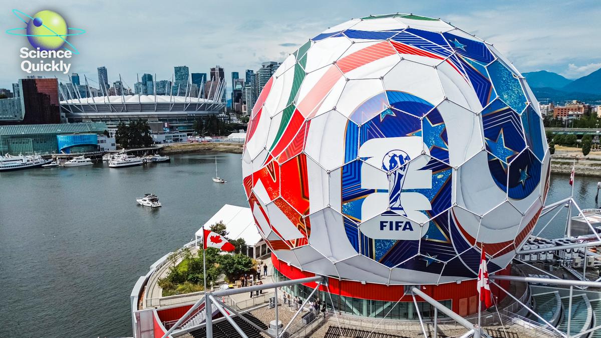
The World Cup kicks off in just a few days. Now, I love “the beautiful game” as much as the next guy, but I will say this international spectacle is already messing with my commute. Which I don’t appreciate. My concerns about overcrowded public transit are small potatoes compared to what public health experts have to worry about in the wake of such a large event. New York City’s health commissioner recently told NPR that the city has been running simulations to prepare for mass casualty events and disease outbreaks. And some of the World Cup locations in the U.S. are also dialing up their use of wastewater surveillance to catch any pathogens.
Here to tell us more about that is Lauren Young, associate editor for health and medicine at Scientific American. Thanks for being here, Lauren.
On supporting science journalism
If you’re enjoying this article, consider supporting our award-winning journalism by subscribing. By purchasing a subscription you are helping to ensure the future of impactful stories about the discoveries and ideas shaping our world today.
Lauren Young: Thanks, Rachel.
More than five million people from around the world are going to be traveling to North America for the World Cup this week. Sixteen different cities are gonna be hosting the games. But as people come, public health experts are gonna be on pretty high alert for any potential outbreaks of infectious diseases, and the way they’re doing that is using this forecasting system through wastewater detection.
Wastewater is, like, a super helpful forecast tool, if you will, to pick up things like genetic material from viruses that people might shed into waste via their skin or saliva, things like that.
So this surveillance is being led by Georgetown University and MedStar Health, who are assembling various different partners around the U.S. to be monitoring wastewater.
The wastewater surveillance system is going to be able to detect things like COVID, measles and influenza. The scientists are also looking out for things like insect-borne illnesses such as chikungunya and dengue. A genomics team will also be sequencing viruses to further trace any potential outbreaks. So the network will have real-time dashboards to disseminate information quickly to the public, as well as public health officials to take any necessary actions on containing outbreaks.
I’m personally keeping tabs on the ongoing outbreak of Ebola and how concerned scientists are about cases emerging in North America as people travel for the games. The Wastewater Surveillance Network does have the capability of detecting the virus, but team members that I spoke to say that they’re not as concerned about Ebola spread in the U.S. right now in comparison to things like measles or influenza.
You can follow more of this coverage on ScientificAmerican.com.
Thanks, Rachel!
Feltman: Thanks again, Lauren. Listeners, we’ll be sharing some more World Cup related stories here and on ScientificAmerican.com, so stay tuned.
Now for some sad space news. Six months ago NASA lost contact with the Mars Atmosphere and Volatile Evolution mission, known as MAVEN for short. Last Wednesday a statement from NASA confirmed that the orbiter is lost for good.
MAVEN launched back in 2013 and entered Martian orbit in September of 2014. Since then, the orbiter helped scientists understand the upper atmosphere of Mars, its ionosphere and the way it interacts with the sun. MAVEN also helped form the communication network that keeps both NASA and the European Space Agency in contact with their rovers on the Martian surface.
While MAVEN’s demise came without warning, the orbiter certainly outlived its initial mission length which was just one year.
Let’s move on to a story about artificial intelligence. Last Tuesday President Donald Trump issued an executive order that asks companies to grant the government early access to advanced AI models. The order tasks federal agencies with improving U.S. defenses against cybersecurity threats and asks AI companies to provide access to their models for up to 30 days before public release to facilitate this.
Trump was originally slated to sign a version of the executive order on May 21, but told reporters that day that he was pulling it out of concern that it could make the US less competitive against Chinese AI. CNN reports that the late May version of the order called for a 90-day review period but that this was shortened after conversations with tech companies.
Our last story comes from SciAm’s chief newsletter editor Andrea Gawrylewski. She’s here to tell us about some groundbreaking new research on the roads that paved the way for the Roman Empire’s success. Take it away, Andrea.
Andrea Gawrylewski: Thanks, Rachel.
Researchers created a high-resolution map of some 300,000 kilometers of roads in ancient Rome. This more than doubles the previous estimate of roads in the empire. The roads span an area the size of the E.U. that stretches from Egypt to Germany and Spain to Turkey.
So how did they do this? Archeologists combined a bunch of different sorts of data to make their map. First of all, they looked at milestone rocks. The Romans placed these stone pillars every 1,000 paces along the roads. They were like ancient mileage signs and were engraved with how far you were from Rome, and also some details about the local government.
So the team aggregated the databases that included more than 8,000 milestones around 14,000 ancient places and then started connecting the dots between them. But some roads are not visible anymore, like some ancient cities have flooded over the centuries or have been built over by urbanization. So the researchers examined declassified photos from Cold War–era satellites to reconstruct what shape these roads took.
And what else? The team looked at detailed topographic maps that were mostly made for military strategy, which gave them detailed data about the topography of the roads along mountains or other landscapes.
And lastly, the researchers evaluated the land itself. Certain areas of the currently accepted version of the roads don’t match the landscape and simply would not be possible today.
So the team studied sediments to reconstruct the ancient landscape and find the dry lands that once could have supported roads. All this helped them create a stunning high-res map of roads of the Roman Empire.
The Romans themselves did not invent roads, but boy did they know how to scale up a good thing. You can check out the atlas yourself, it’s super cool, at itiner-e.org. And if you wanna get fascinating updates like these five days a week, subscribe to my free daily newsletter Today in Science at scientificamerican.com/#newsletter.
Feltman: That’s all for today’s roundup, listeners. We’ll be back on Wednesday to dig into the surprisingly intricate world of soccer pitch grass. Like, seriously: you don’t even know how much you don’t know about grass. So, get excited!
Before we sign off, I want to make sure you know about Scientific American’s inaugural summer reading challenge. From now through August 31, we here at SciAm are challenging you to read along with us and attempt to check off boxes on our official summer reading bingo card. Participants will be entered to win exclusive prizes! Plus, you’ll also be motivated to read a bunch, which is pretty great on its own. Go to sciam.com/readingchallenge for more info. You’ll find that link in our show notes all summer long.
Science Quickly is produced by me, Rachel Feltman, along with Fonda Mwangi, Sushmita Pathak and Jeff DelViscio. This episode was edited by Alex Sugiura. Marielle Issa and Aaron Shattuck fact-check our show. Our theme music was composed by Dominic Smith. Subscribe to Scientific American for more up-to-date and in-depth science news.
For Scientific American, this is Rachel Feltman. Have a great week!