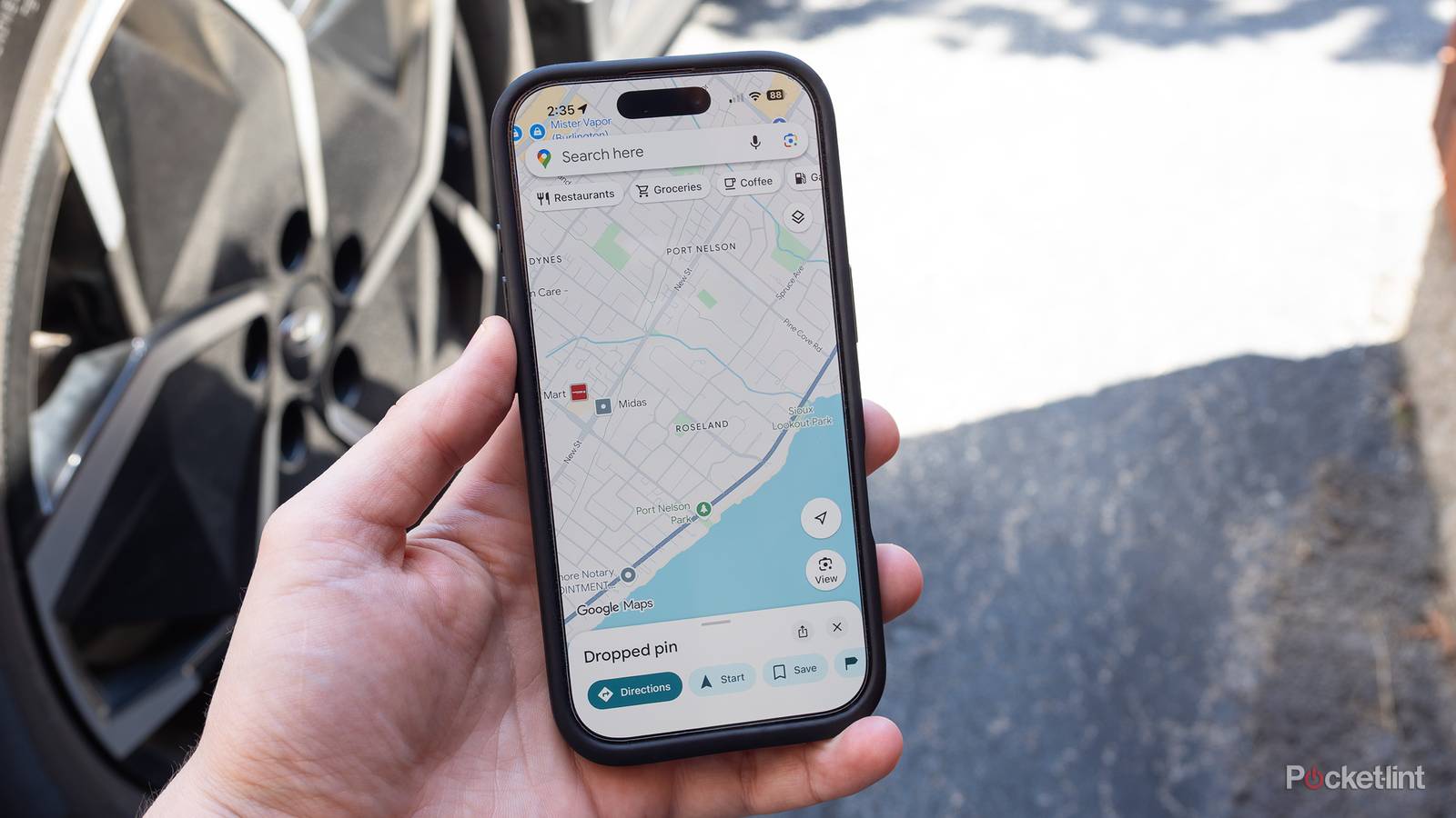
The main reason anyone uses Google Maps is in-car navigation, and the app’s features definitely reflect this. Apart from CarPlay and Android Auto compatibility, many options are geared around the fastest possible driving, or else a route that matches all your personal preferences. Hate highways or gravel roads? Google’s got you covered.
Recently, though, I had my attention drawn to a feature so basic that I’ve left it on for years without thinking. I’m now deliberately leaving it active — but here’s why you might want to turn it off, especially if you’re an EV (or PEV) owner.

Google Maps trivia
The ultimate navigation challenge
From Street View to live traffic — how well do you really know the world’s
most popular mapping app?
HistoryFeaturesTechnologyMilestonesNavigation
In what year was Google Maps officially launched to the public?
Correct! Google Maps launched in February 2005, initially as a desktop
web application. It was originally developed by a company called Where 2 Technologies, which Google
acquired in 2004 before turning it into one of its most iconic products.
Not quite — Google Maps launched in February 2005. It started life as a
product from a company called Where 2 Technologies, which Google snapped up in 2004 and rapidly
developed into the mapping service we know today.
Which company did Google acquire to help build the foundation of Google Maps?
Correct! Where 2 Technologies, an Australian startup, was acquired by
Google in October 2004. The small team had built a desktop mapping application that impressed Google
enough to buy the company and use it as the backbone of what became Google Maps.
The right answer is Where 2 Technologies, an Australian startup acquired
by Google in October 2004. MapQuest, Navteq, and TeleAtlas were all real mapping companies, but it was
Where 2 Technologies whose core technology directly evolved into Google Maps.
In what year did Google introduce Street View to Google Maps?
Correct! Google Street View launched in May 2007, initially covering
five US cities including San Francisco, New York, and Las Vegas. It used a fleet of specially equipped
cars with panoramic cameras to capture 360-degree ground-level imagery.
Street View actually launched in May 2007, not quite when you guessed.
It rolled out across five US cities at first — San Francisco, New York, Las Vegas, Miami, and Denver —
using specially built camera cars to capture immersive 360-degree street-level imagery.
What programming technique did Google Maps pioneer that made maps feel smooth and
interactive without full page reloads?
Correct! Google Maps was a landmark example of AJAX (Asynchronous
JavaScript and XML) in action, allowing map tiles to load dynamically as users panned and zoomed without
refreshing the whole page. This was groundbreaking in 2005 and helped spark the broader Web 2.0
revolution.
The answer is AJAX — Asynchronous JavaScript and XML. Google Maps was
one of the first major web apps to use this technique at scale, letting users drag and explore maps
fluidly without triggering a full page reload. It became a defining demonstration of what interactive
web applications could do.
Approximately how many Street View images has Google captured as of recent
estimates?
Correct! Google has captured over 220 billion Street View images
covering more than 10 million miles of roads across 100-plus countries. It remains one of the largest
photography projects ever undertaken, using cars, trikes, snowmobiles, and even backpack-mounted
cameras.
The staggering answer is around 220 billion images. Google’s Street View
program has photographed over 10 million miles of roads across more than 100 countries, using everything
from cars and bikes to backpack-mounted camera rigs to reach places vehicles simply can’t go.
Which mapping and traffic app did Google acquire in 2013 to improve real-time
traffic data in Google Maps?
Correct! Google acquired Waze in June 2013 for approximately $1.1
billion. Waze was an Israeli community-driven navigation app that used real-time crowdsourced data from
drivers to report accidents, speed traps, and road hazards — features that have since been deeply
integrated into Google Maps.
The answer is Waze, the Israeli crowdsourced navigation app that Google
bought in June 2013 for around $1.1 billion. Waze’s strength was its community of drivers reporting live
road conditions, accidents, and hazards — and that real-time data has since become a core part of Google
Maps’ navigation experience.
What is the name of Google Maps’ feature that allows users to explore the inside of
buildings such as airports and shopping malls?
Correct! Google introduced Indoor Maps in 2011, allowing users to
navigate the interiors of large public venues like airports, museums, and shopping centers. The feature
displays floor plans and points of interest floor by floor, helping people find gates, restrooms, and
stores with ease.
The feature is called Indoor Maps, which Google rolled out starting in
2011. It lets users view detailed floor plans of large public buildings like airports and malls,
complete with floor-by-floor navigation to help you find your gate, a coffee shop, or the nearest exit.
Which major tech company launched Apple Maps in 2012, directly competing with Google
Maps on mobile devices?
Correct! Apple launched Apple Maps in September 2012 with iOS 6,
controversially replacing Google Maps as the default navigation app on iPhones. The launch was
notoriously rocky — with missing locations, distorted imagery, and routing errors — prompting a rare
public apology from Apple CEO Tim Cook.
The answer is Apple, which launched Apple Maps with iOS 6 in September
2012. The rollout became infamous for errors including melted bridges, misplaced landmarks, and poor
routing, leading to a very public apology from CEO Tim Cook and temporarily boosting appreciation for
Google Maps among iPhone users.
Your Score
/ 8
Thanks for playing!
Efficiency isn’t always efficient
Decide based on your real-world needs

Let’s cut to the chase: the feature is called Prefer fuel-efficient routes, or possibly energy-efficient routes if you’ve set your vehicle type as an EV (more on this below). Either way, you can toggle it off by going to Settings -> Navigation and searching under Route options.
There are some details worth explaining, the first being how Google actually prioritizes efficiency. It’s not elevating that factor at all costs — it’s simply adding it into the mix alongside traffic, simplicity, and other road conditions. Beyond certain thresholds, less efficient routes may be recommended regardless. Also, if you disable the feature, you’ll still see efficient routes marked with a green leaf.
It’s not hard to identify the gaps here. Google doesn’t tell you what those thresholds are, so it’s entirely possible that the efficient route will not only be slower, but convoluted. Yes, taking an efficient route will almost always be easier on your wallet. Sometimes, though, saving a few minutes can be vital, and taking backroads can be more stressful than the highway, say if they include potholes or dangerous intersections.
The reason I’d recommend disabling this for many EV owners is the rapidly improving convenience of intracity charging. Even if you don’t have a charger in your house or apartment building, station top-ups are cheaper than gas, and increasingly quick. Using NACS, the 2026 Nissan Leaf can charge from 10 to 80% in about 35 minutes — and that’s a relatively low-end model. Vehicles like Hyundai’s latest Ioniqs can finish in 20 minutes or less.
Most gas drivers should probably leave the feature on, given how high prices have spiked because of the US-Israeli war with Iran. Still, if your job depends on urgent timing, or you’re about to head out on a long roadtrip, turning it off may actually be a necessity. It’s one thing to save four minutes on a crosstown commute — on a cross-country drive, you might easily save 40 minutes per leg. That’s a long time to be stuck in a car, and you may be racing to make a hotel, flight, or event booking.
A few additional caution points
Read this before you go

Google warns that energy-efficient routes for EVs don’t include charging stops. That might seem ridiculous at first, but presumably this is because the app is trying to stretch your battery as far as possible within city conditions, where charging is (relatively) easy to come by. The moment you’re headed out on an intercity trip, safe access to chargers trumps most other concerns.
Remember to set your vehicle type via Settings -> Your vehicles. Whether or not efficient routes are preferred, Google calculates efficiency data based on your engine. Hybrids and full EVs are most efficient downhill or in stop-and-go traffic, thanks to regenerative braking. Gas-guzzlers are best on the highway. If you own an electric motorcycle, you’ll have to pick an electric car regardless, as Google’s motorcycle mode doesn’t yet acknowledge your existence.