


As Hurricane Helene roared toward the Florida Panhandle on September 26, 2024, the storm put on an intimidating display of rapid intensification, ramping up from a Category 1 hurricane with 80 mph (129 km/h) winds to a Cat 4 monster with 140 mph (225 km/h) winds in the 24 hours before landfall. Storm damage rises exponentially as the winds increase, so this rise in intensity increased Helene’s destructive power by a factor of about 92, according to a NOAA damage potential scale.
Rapid intensification – defined as a 35 mph (56 km/h) or greater increase in the maximum sustained wind speed within a 24-hour period – is something 80% of major hurricanes (Category 3-5) undergo at some point during their lifetime; a remarkable 96% of Cat 4 and Cat 5 storms do so. Hurricanes that rapidly intensify just before landfall are extremely dangerous, as they can catch forecasters and populations off guard, risking inadequate evacuations and large casualties. In a 2024 study, hurricane researcher Kieran Bhatia found that deaths and damages from hurricanes that undergo rapid intensification near landfall are significantly higher than for other storms – even after accounting for the storm’s intensity at landfall.
Fortunately, every National Hurricane Center (NHC) forecast from the first advisory correctly predicted that Helene would undergo rapid intensification. Even so, Helene’s impact caught many off guard. The huge death toll – at least 176 direct deaths – makes Helene the third-deadliest U.S. hurricane in at least 60 years. Helene’s $79 billion price tag was the seventh-costliest weather disaster in world recorded history.

Hurricane forecasts will suffer because of NOAA cuts
Multiple degradations of hurricane forecast capability occurred this year that will hurt our ability to make all kinds of hurricane forecasts, including those for rapid intensification:
- Reductions in regular twice-per-day upper air balloon soundings. Data from the balloons is typically the most important ingredient in making reliable model weather forecasts. The Washington Post reports that from March 20-May 26, 17% of all U.S. balloon launches that should have occurred did not, mostly because of NOAA staffing losses. However, some of the data loss may be offset in the future by data being provided to NOAA by a private company that launches weather balloons, WindBorne.
- Staffing losses of about 600 employees at National Weather Service offices. As I reported on May 28, staffing losses at offices along the hurricane-prone coast were typically 10-20%, with Houston suffering a 44% loss. The Miami and Key West forecast offices have lost about 40% of their staff. About 450 of these NWS vacancies nationwide can now be filled as a result of a change in designation removing them from the ongoing federal hiring freeze, according to a Substack post on August 5 by Alan Gerard, but this process will take time.
- A 30% staffing loss at NOAA’s Hurricane Research Division. This is expected to cause a 50% reduction in crewing of the Doppler radar and dropsonde stations on the NOAA Hurricane Hunter aircraft, according to the Congressional testimony by former division chief Frank Marks.
- Staffing losses of computer weather modeling personnel at NOAA labs.
- Failure to renew the contract for utilizing ocean surface drones (Saildrones) to collect data in hurricanes.
As retired NHC chief hurricane forecaster James Franklin wrote on his Substack feed: “While there is resiliency in the hurricane forecasting enterprise, where strength in one area can cover for a weakness elsewhere, that resiliency is being stripped away, piece by piece. I fear that our hurricane products and services are suffering a death by a thousand cuts.”
And a stupendously crippling cut to our capability to make better hurricane forecasts may be coming if the administration’s 2026 NOAA budget proposal is adopted. As reported by Michael Lowry on July 1:
“NOAA posted details of its 2026 budget request to Congress, which closes more than a dozen world-class weather and climate facilities across the U.S., including Miami’s Atlantic Oceanographic and Meteorological Laboratory and its Hurricane Research Division, institutions responsible for most of the advancements in hurricane forecasting and science over the past 50 years.”
If this budget is enacted, it would be a crippling blow to hurricane research, likely halting or even reversing the significant progress that has been made in hurricane forecasts in recent years. Members of Congress have expressed that they do not support such a massive cut to NOAA, but it remains to be seen if this desire will be enshrined in law.
NHC has made significant progress in recent years forecasting rapid intensification (Fig. 2). And a 2024 study by the nonprofit, nonpartisan National Bureau of Economic Research, “The Social Value of Hurricane Forecasts,” found that recent advancements in hurricane forecasting have a huge value: an average cost reduction of $5 billion per major landfalling hurricane over the period 2005-2020. The benefits came either by decreasing deaths and damages or by inspiring confidence in decisions not to spend money on pre-storm adaptation. But given the multiple losses in forecasting capability that have occurred this year, this progress may halt or even reverse beginning in 2025.

Forecasters almost lost a key tool for predicting rapid intensification this summer
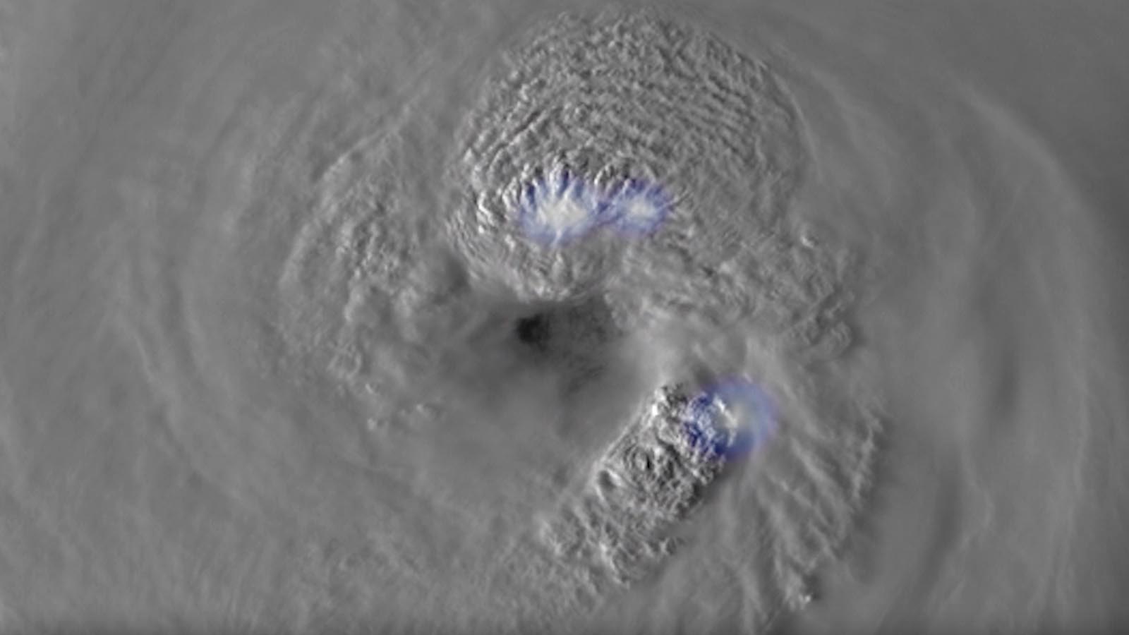
Fortunately, for Hurricane Helene last year, NHC forecasters had the luxury of having a full suite of microwave imagery data from polar-orbiting satellites to use for their forecasts. Microwave instruments are critical for making accurate rapid intensification forecasts, since the sensors can “see” through obscuring cloud cover to make an MRI-like 3D scan of the internal structure of a hurricane in ways that conventional visible and infrared satellite imagery cannot. And in locations where the Hurricane Hunters do not fly – all of the Southern Hemisphere, the northwestern Pacific, and usually the Eastern Pacific – microwave data is often essential to making accurate intensity forecasts (see this explainer by Michael Lowry).
This critical data source was severely threatened when the Department of Defense made a sudden and unexpected announcement in late June that microwave data from the SSMIS instruments on their Defense Meteorological Satellite Program satellites would no longer be made available beginning June 30. After an outcry, this termination date was changed to July 31, then permanently waived on July 29. The satellites are predicted to reach the end of their lives in 2026, but are already operating 15 years past their expected lifetime, so we may have a few more years with this valuable data.
Rapidly intensifying hurricanes are growing more common
Unfortunately, the multiple cuts to NOAA this year decrease our ability to make rapid intensification forecasts at a time when the frequency of this most dangerous type of hurricane is increasing because of human-caused climate change. The most recent research on the issue, “Warming-induced historical (1871-present) increase in tropical cyclone rapid intensification,” concluded, “We compare the observed, simulated, and projected changes and show that the increase in global (and North Atlantic) rapid intensification represents an emergent global warming signal.”
Read: Climate change is causing more rapid intensification of Atlantic hurricanes
Climate change theory, modeling, and observations show that increasing the amount of heat in the ocean increases the odds of rapid intensification, with the largest increases in peak intensification rates occurring for the most extreme cases. For example, during the period 1970-2020 in the Atlantic, the 99.5th percentile of maximum hurricane intensification rates for a 12-hour window expanded from 42 mph to 60 mph. In other words, those hurricanes are intensifying more now.


A fivefold increase in Atlantic hurricanes rapidly intensifying just before a contiguous U.S. landfall
Not only are rapidly intensifying hurricanes growing more common in general, the most dangerous ones – hurricanes that rapidly intensify in the 24 hours before making landfall – have seen a disproportionate increase in frequency in the Atlantic, growing five times more common in the past 43 years. According to hurricane scientist Kieran Bhatia, in the 36-year period 1982-2017, seven Atlantic storms intensified by 35 mph or more in the 24 hours leading up to a mainland U.S. landfall. But in just the past seven years — 2018-2024 — seven more storms achieved this feat (Michael, Zeta, Laura, Ida, Ian, Idalia, and Helene). That’s a factor of five increase in frequency during the past seven years. While a good part of this remarkable increase can be attributed to a change in steering currents – the continental U.S. had no major hurricane landfalls from 2006-2016 but had nine from 2017-2024 — more favorable conditions for rapid intensification because of human-caused climate change may also be involved, according to multiple studies.
Some recent rapid intensification research findings
- Atlantic hurricanes showed “highly unusual” upward trends in rapid intensification during the period 1982-2009, trends that can be explained only by including human-caused climate change as a contributing cause. The largest change occurred in the strongest 5% of storms: For those, 24-hour intensification rates increased by about 3-4 mph per decade. (From: “Recent increases in tropical cyclone intensification rates”)
- A doubling in the frequency of 24-hour rapid intensification periods has been observed in the Atlantic from 1982 to 2017 (From: A potential explanation for the global increase in tropical cyclone rapid intensification)
- The number of rapid intensification events globally increased by 14.8 per decade, and the number of Cat 4 and Cat 5 hurricanes increased by 2.6 per decade, from 1980 to 2018 (From: Modulation of global sea surface temperature on tropical cyclone rapid intensification frequency)
- During the 50-year period 1971-2020, the maximum 12-hour intensification rate for Atlantic hurricanes was 29% greater in the modern era (2001-2020) compared to the historical era (1971-1990). In the modern era, it was equally likely for a hurricane to intensify by at least 60 mph in 24 hours as it was to intensify by that amount in 36 hours during the historical era. Also, the number of hurricanes that intensify from a Category 1 hurricane (or weaker) storm into a major hurricane within 36 hours has more than doubled in the modern era relative to the historical era. The biggest hot spots for rapid intensification in the modern era compared to the historical era are the Caribbean Sea, the central Atlantic east of the U.S. Southeast, and the southeast Atlantic off the west coast of Africa. (From: Observed increases in North Atlantic tropical cyclone peak intensification rates)
- Over the 40-year period of 1979-2018, the mean 24-hour hurricane intensification rate increased by about 1.4 mph per six-hour period near the U.S. Atlantic coast. However, a significant increase in intensification did not occur near the Gulf Coast over the same period. The researchers said that climate models predict continued increases in hurricane intensification rates near the Atlantic coast in the future. (From: Increasing Hurricane Intensification Rate Near the US Atlantic Coast)
- Over the period 1979-2020, global observations showed that the mean 24-hour hurricane intensification rate increased by about 3.4 mph per 24 hours in regions close to the coast. “Further, high-resolution climate model simulations suggest that nearshore TC intensification will continue to rise under global warming,” they said. (From: A Global Increase in Nearshore Tropical Cyclone Intensification
- Globally, rapid intensification has tripled from 1980 to 2020 for ocean areas within 400 km of the coast. “Climate models show that global ocean warming has enhanced such changes.” (From: Recent increases in tropical cyclone rapid intensification events in global offshore regions)
Atlantic tropical cyclones that rapidly intensified at least 40 mph before landfall since 1950
Helene is one of just 10 landfalling continental U.S. storms since 1950 that have rapidly intensified by at least 40 mph (64 km/h) in the 24 hours before landfall (using data from the regular six-hourly fix just before landfall, data from the actual landfall point, or in the case of Hurricane King of 1950, the point one hour after landfall). It is sobering to see that five of those storms, below in boldface, occurred in the past eight years.
- Humberto, 2007 (65 mph increase)
- Helene, 2024 (60 mph increase)
- Ida, 2021 (60 mph increase)
- King, 1950 (60 mph increase)
- Laura, 2020 (45 mph increase)
- Michael, 2018 (45 mph increase)
- Harvey, 2017 (40 mph increase)
- Cindy, 2005 (40 mph increase)
- Danny, 1997 (40 mph increase)
- Eloise, 1975 (40 mph increase)
From tropical storm to Cat 5 hurricane in less than a day: the cautionary tale of Hurricane Otis
On October 24, 2023, a small tropical storm off the Pacific coast of Mexico named Otis was headed for landfall near Acapulco. Just 16 hours before Otis would make landfall, the National Hurricane Center called for a landfall at Category 1 strength with top sustained winds of 90 mph, expected to occur in 21-33 hours. Instead, Otis put on an almost unbelievable feat of rapid intensification, arriving as a monstrous Category 5 storm five hours earlier than the forecast window called for. The lack of warning undoubtedly contributed to Otis’ appalling toll: 84 people dead or missing and damage of about $15 billion, making it the most destructive hurricane in Mexican history.
Read: Acapulco: A month after Hurricane Otis
Otis’ peak intensification rate of 105 mph (169 km/h) in 24 hours was the third-highest such rate in the Western Hemisphere (behind a 120-mph (193 km/h) increase by Hurricane Patricia off the Pacific coast of Mexico in 2015 and a 110-mph (177 km/h) increase by Hurricane Wilma in the Caribbean in 2005).
Among the factors hobbling accurate intensity forecasts of Otis: There was only one flight by the Hurricane Hunters (with just two penetrations) into Otis, and there was no Doppler weather radar available, either ground-based or from reconnaissance flights. Moreover, in the days leading up to Otis, forecast models struggled to determine whether Otis would make landfall at all. Some of the leading models kept Otis offshore for days. While these factors are less likely to occur in the Atlantic, where we have more ground-based radar and hurricane data, if we keep cutting NOAA the way we have, there is an increasing risk of an Otis-like scenario, with a Cat 5 hurricane roaring ashore in a heavily populated area with inadequate warning. With global warming steadily increasing the odds of rapid intensification, we’d better stay ahead of this dangerous curve by making strong investments in our hurricane research and observation capabilities.
Read: Human-caused ocean warming intensified recent hurricanes, including all 11 Atlantic hurricanes in 2024
Bob Henson contributed to this post.
![]()
![]()