


Summary
- Save your parking spot easily in Google Maps to never lose your car again.
- Use the “Open now” filter on Google Maps to find places open when you need them.
- Customize public transit preferences in Google Maps to tailor your route to your preferences.
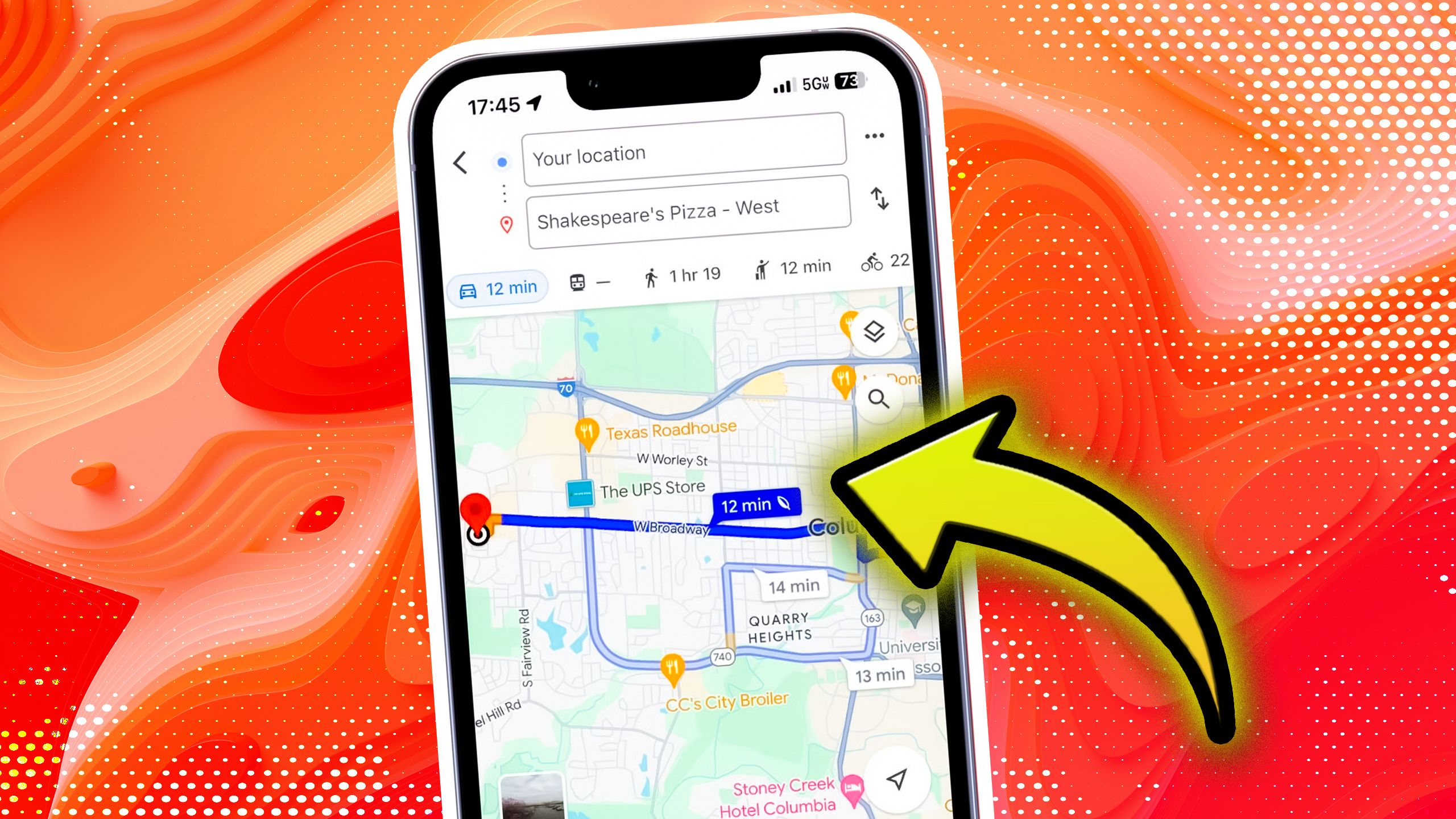
While there are a plethora of navigation apps, Google Maps remains one of the most widely used options. It comes pre-installed on most Android smartphones, offers an easy-to-use and familiar interface, and works smoothly on Apple’s iPhones as well.
Over the past few months, Google has been rolling out several new features to Google Maps. While I haven’t found every update is useful, some new and existing features have genuinely improved my daily commute and travel experiences. Here are a few Google Maps features that not everyone knows about but are genuinely helpful and might prove useful for you, too.
6
Save your parking spot with just a single tap
Never worry about finding your car again

Has this ever happened to you? You enter a multi-storey parking lot, park your car, and then completely forget where you parked, only to wander around until you finally remember.
Yes, it happens. Thankfully, Google Maps includes a simple feature that lets you save your car’s parking location easily. It’s straightforward to use, and here’s how:
- Open Google Maps on your phone after parking your car.
- Tap the blue dot that shows your current location.
- Select Save parking from the menu.
Optionally, you can also add details like notes (for example, “0 Level, Pillar J11”) and even set a reminder to move your car later if needed.
5
Filter locations with the “Open now” toggle
Perfect when you’re rushing or it’s late

I’m sure you’ve been in a situation where you’re traveling to a new place, and the restaurant opening hours aren’t the same as what you’re used to. You find a great spot to eat nearby, only to discover it’s closed. In such cases, the “Open now” filter on Google Maps has saved me more times than I can count, and it might help you too.
This feature works when you search for things like “cafes” or “pharmacy.” Once the Google Maps results show up, just tap the “Open now” filter. It will narrow down the list to only show places that are open at that moment, making it much easier to choose where to go.
It’s such a simple feature, but it’s a total lifesaver when you’re in a rush or when places are about to close.
4
Find places that match your dietary needs
Ideal for vegetarians, vegans, and more

Google Maps is easily one of the best tools to find restaurants and cafes. You can filter locations by ratings, cuisine, accessibility, and more. But one underrated Google Maps option is that you can also tweak Google Maps to automatically show only those restaurants and eateries around you that match your dietary preferences.
That means if you’re vegan, vegetarian, or prefer halal, gluten-free, or other options, Google Maps can filter results automatically. Here’s how to set it up:
- In the Google Maps app, tap your profile icon at the top right.
- Go to Settings.
- Select Manage your preferences, then tap Dietary preferences.
- Now choose from options like alcohol-free, halal, kosher, vegan, and more.
3
Add home and work for quicker route access
No need to type them every single time

If you use Google Maps to navigate to your workplace or home every day, this feature is a must. Google Maps lets you save your home and work addresses directly in the app. That way, whenever you’re on the road and need directions, you can simply tap Home or Work without manually searching.
To set your home and work locations in the Maps app, follow these steps:
- In Google Maps, tap your profile icon at the top right and go to Settings.
- Select Edit home or work.
- Choose the one you want to set or edit, then either type in or manually set the address.
2
Customize public transit with smart filters
Less walking, fewer transfers, lowest cost? Your call.

One of the best features of Google Maps is how easily it helps you get around using public transport, even in a completely new place. You don’t need to download a separate transit app, since Google Maps can handle it for you.
What many people miss, though, is that Maps also lets you customize your public transport journey based on your preferences. For example, if you prefer taking the metro over buses, you can set that. Similarly, if you’d rather take the fastest route, even if it means changing lines more often, you can do that too.
For example, I usually select “Fewer transfers” because I don’t like switching lines, especially when I have luggage. To set your preferences in Maps, follow these steps:
- Open Google Maps and enter your destination.
- Tap the public transport tab.
- Tap the gear icon to open transport settings.
- Choose your preferences, such as fewer transfers or wheelchair access, and Maps will adjust your route accordingly.
You can also set an arrival time in Google Maps when planning your journey. Just tap the “Leave by” or “Arrive by” option after entering your destination. This way, Maps will tell you exactly when to leave to reach your destination on time.
1
Send directions straight to your phone
Cross-device sync is underrated

This is one of the most underrated features on Google Maps. Whenever you’re searching or planning a trip itinerary on your laptop, you can directly send the Google Maps listing to your phone for quick access.
Just make sure you’re signed in to the same Google account on both devices. Once you find a route or location, you’ll see an option to “Send to phone.” Tap it, and you’ll instantly get a notification on your phone that opens the location or route directly in the Maps app.
It’s a great way to plan ahead without having to retype anything later. I use this all the time while trip planning or browsing places during work.
All in all, Google Maps offers a range of features that make both everyday travel and trips to new places or countries much easier. But these aren’t the only useful tools. There are plenty of other features, such as offline maps and incident reporting, that make Google Maps even more helpful for navigation.
- OS
-
iOS, Android
- Brand
-
Google
- Price
-
Free
Google Maps is the most commonly used navigational app for traveling. The popular tool helps drivers, commuters, walkers, and cyclists get to where they are going with features like scheduled departures, incident reporting, and slowdown warnings.