


Raise your hand if, in your relationship, you’re the driver.
The missus and I just completed a 14-hour road trip from West Texas to her family home in Tennessee. During this trip, we pass through 100+-mile stretches with not a single gas station in sight. Through various ranch lands and remote areas, my cell phone signal constantly drifts in and out, a reminder that there are still parts of the USA without access to all the tech in the world.
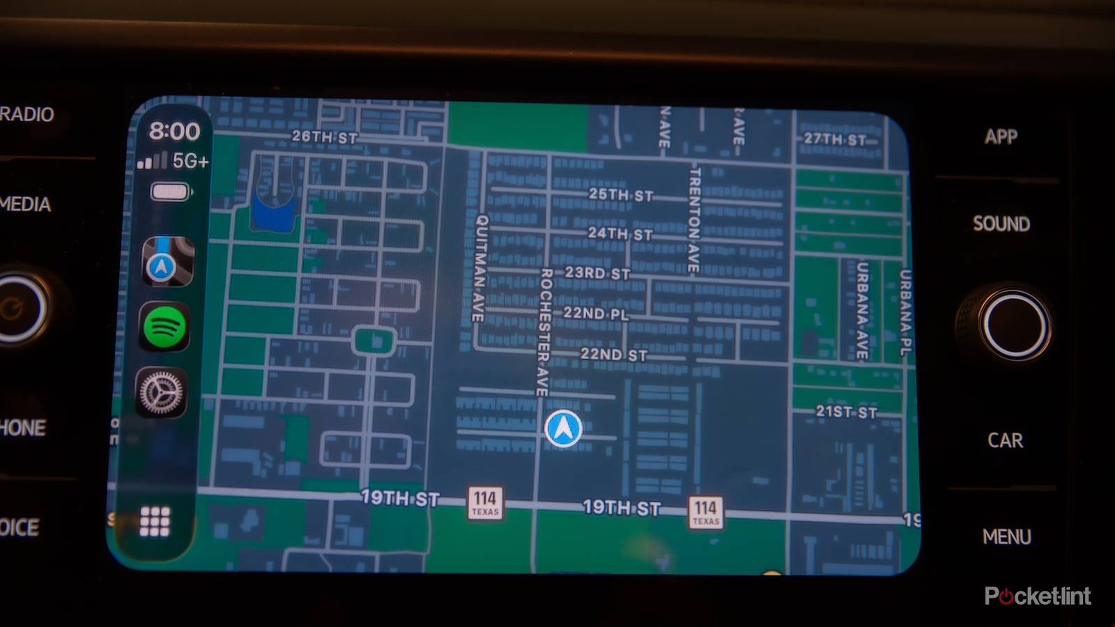
Despite these stretches being desolate, they are still twisty with several turnoffs around where decades-old land deeds deemed necessary. In stretches like those, my favorite Apple CarPlay feature rears its head – offline maps. Whether it’s finding my way to a hunting plot in the wee hours of the morning or meandering through various back country highways with and without cell service, Apple’s offline maps keep me on the straight and narrow.
Navigation with no cellular service
Get anywhere, any time, no matter the conditions

You might not know this, but Apple Maps allows its users to download map regions directly to your iPhone or other Apple device. Then, you can enable turn-by-turn navigation within those regions even if you lose cellular service or Wi-Fi abilities. As the data is already stored on your device’s hard drive, it can give you directions just like if you were on an open stretch of interstate with full service.
This is especially handy in remote rural areas, national parks, mountainous areas, or even traveling abroad. I plan to use offline maps during my honeymoon to Ireland in just a few months to truly test out their international capability. Now if they could just teach me how to drive on the left side of the road. However, they can help reduce stress during large-scale international travel.
Offline maps take the stress out of my international travel
If you travel abroad, then offline maps can be a lifeline

I’ve been to my fair share of countries, and as stated earlier, will be adding a few more in the not-so-distant future, and offline maps are a lifeline for me whenever we’re traveling. Sure, I get international data, but do I know what areas do and don’t get cell service like I do stateside? Absolutely not. That’s where offline maps come in. Whether it’s a night out on the town in Mexico City or a drive through the Canadian countryside, I like to know exactly where I’m going.
The capabilities of offline maps don’t stop there, though. You can still get ETAs and view points of interest without relying on a network connection, and depending on how much storage you have, the map regions can cover nearly a day’s worth of driving at a time. That being said, a clear roadmap isn’t the only benefit that offline maps can bring you.
A quick trick to manage data usage
International roaming can still be expensive

By opting to download your maps ahead of time, you can significantly cut down on your data usage during an international trip. I’ve seen some international data roaming costs soar upwards into the thousands of dollars. If you plan ahead and download the maps for your region, then you can avoid those costs entirely and save some real cash.
Your phone’s maps app works by constantly tracking your location and adjusting your route. That can get pretty hefty when it comes to long trips or being in new areas. As much as I enjoy traveling, I like saving money even more, and this little feature has saved me hundreds in roaming fees over the years. By processing navigational data, or anything else for that matter, locally on downloaded maps and apps, users have a dependable backup whenever network congestion or outages occur, which is bound to happen at some point or another.
Are there other options out there
Anyone can download offline maps these days

When Apple announced that it was bringing offline map downloading to its native platform, it closed a competition gap with Google that had been brewing for some time. Google Maps offered offline navigation for years before Apple, and there were even third-party apps that would offer offline downloads before for things like hiking and off-roading, such as AllTrails. When Apple Maps launched in 2012, it was evident that it was light years behind other offerings in the space in terms of features and accuracy, but in recent years, the platform has made up ground.
Even though we still don’t have a satellite view or smarter economic routing on Apple Maps, we do now have access to features like offline maps and driving focus mode to make Apple Maps a more attractive offer not only for native iPhone users, but for the broader navigational community as well.